Over the years I have experimented with a wide range of navigation systems, each reflecting a particular stage in the technological evolution of digital mapping. My journey began with the bulky but legendary Garmin 60 CSX, a device that, despite its size, quickly became a classic among outdoor enthusiasts due to its reliability and precision – basically as Tom Tom for car navigation. At that time, creating and managing routes still required the rather clunky but indispensable Garmin BaseCamp software, where the first digital maps were painstakingly constructed and transferred to the device.
The elephant in the room is Google Maps – perfect with up to update street information, but only useful with good internet connection and no data export if you don’t want to share your route with Google. So later, I moved on to MapsWithMe, an early offline mapping application that was both fast and lightweight. However, over time the app became obsolete, primarily due to unresolved privacy concerns and lack of further development. My next step was OSMand, which at first seemed to offer a rich feature set but eventually proved problematic: the interface was extremely cluttered, the usability left much to be desired, and, paradoxically, the app came with relatively high costs—despite the fact that its core data was based on OpenStreetMap, a project that is fundamentally open and community-driven.
In between, I even developed my own solution: a custom web application where I could manually design my cycling routes, export them as GPX files, and then transfer them to my first-generation Wahoo Elemnt Bolt, mounted on the handlebar of my bike. This setup gave me a sense of control and flexibility but naturally demanded constant maintenance and technical effort.
During the past summer, I decided to perform a complete reset of my navigation strategy, moving away from OSMand and adopting a more streamlined combination of two iOS applications: Organic Maps (OM) for everyday use with street-level navigation and MapOut (MO) for off-road and exploratory routes.
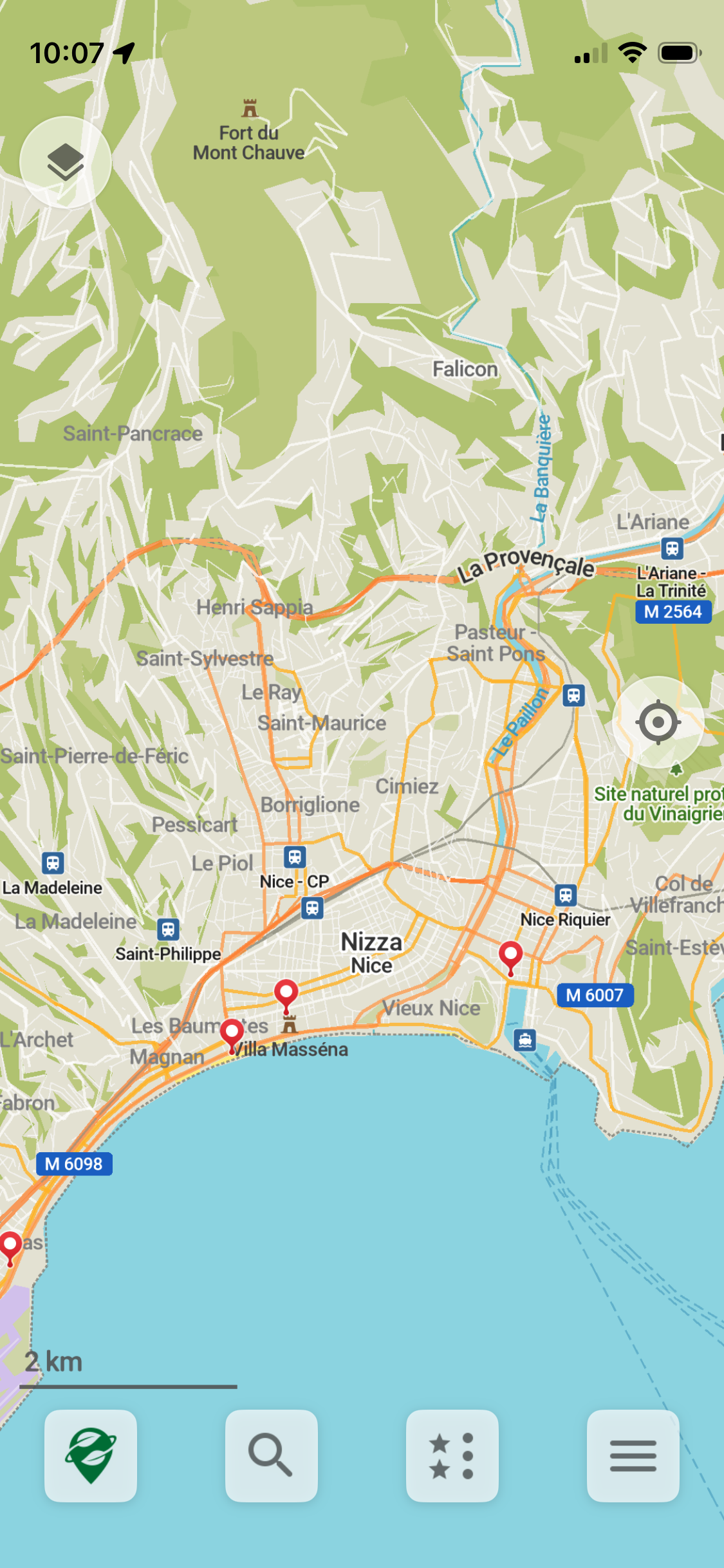
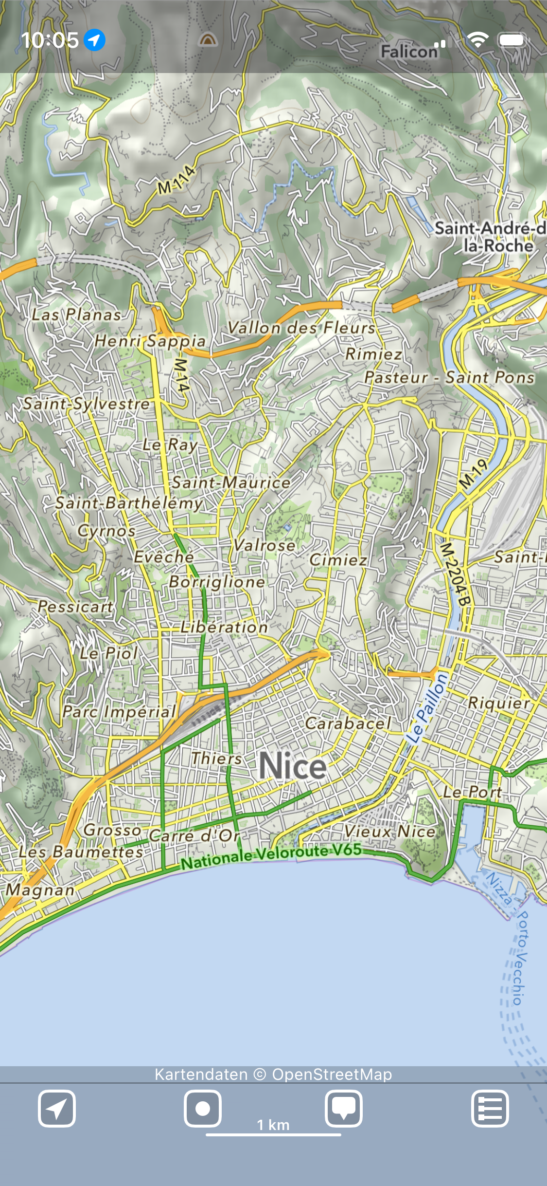
Both applications share a number of advantages: they allow the preloading of large map areas—entire countries in the case of OM, or selectable tiles in MO—thus ensuring offline usability even in remote locations. They also support the import and export of GPX files, an essential feature for cyclists and hikers who rely on custom routes. Most importantly, both apps offer a clean and uncluttered interface, which dramatically reduces cognitive load during navigation compared to earlier, more overloaded systems.
The apps differ in their functional emphasis. Organic Maps provides full routing capabilities, even across national borders, though the calculated paths are not always optimal. MapOut, on the other hand, excels in manual route creation, allowing users to directly draw and modify routes on the map—a feature particularly valuable for those venturing beyond established roads and into less-charted terrain.
In sum, this dual-application setup reflects the current state of mobile navigation technology: specialized, user-friendly, and efficient, with each tool optimized for a particular type of journey. After years of trial and error, I find this combination to be the most practical balance between usability, precision, and flexibility.
And well, if the GPS signal will be increasingly jammed or spoofed, we have to go back to compass and printed maps.