This is the combination that I tried today on a cycle route across Munich. And it is funny to see that there are some hidden bike paths that I was not aware off – the picture shows Schloß Blutenburg where I did not know this track along Pippinger Straße.
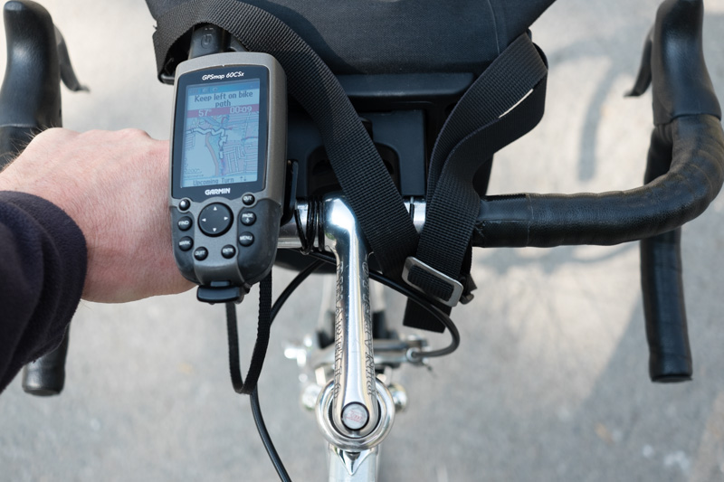
Sure, many cycle paths are not usable for racing bikes but the routing is now already acceptable using the “fastest way” option of the Openfietsmap. The Garmin took quite long (sometimes 30 s or so) for routing but the guidance was 90% useful.
Android devices with Oruxmaps can also read the Openfietsmaps Garmin files as a non routable layer, although I haven’t tested that combination so far.
CC-BY-NC Science Surf , accessed 24.06.2026